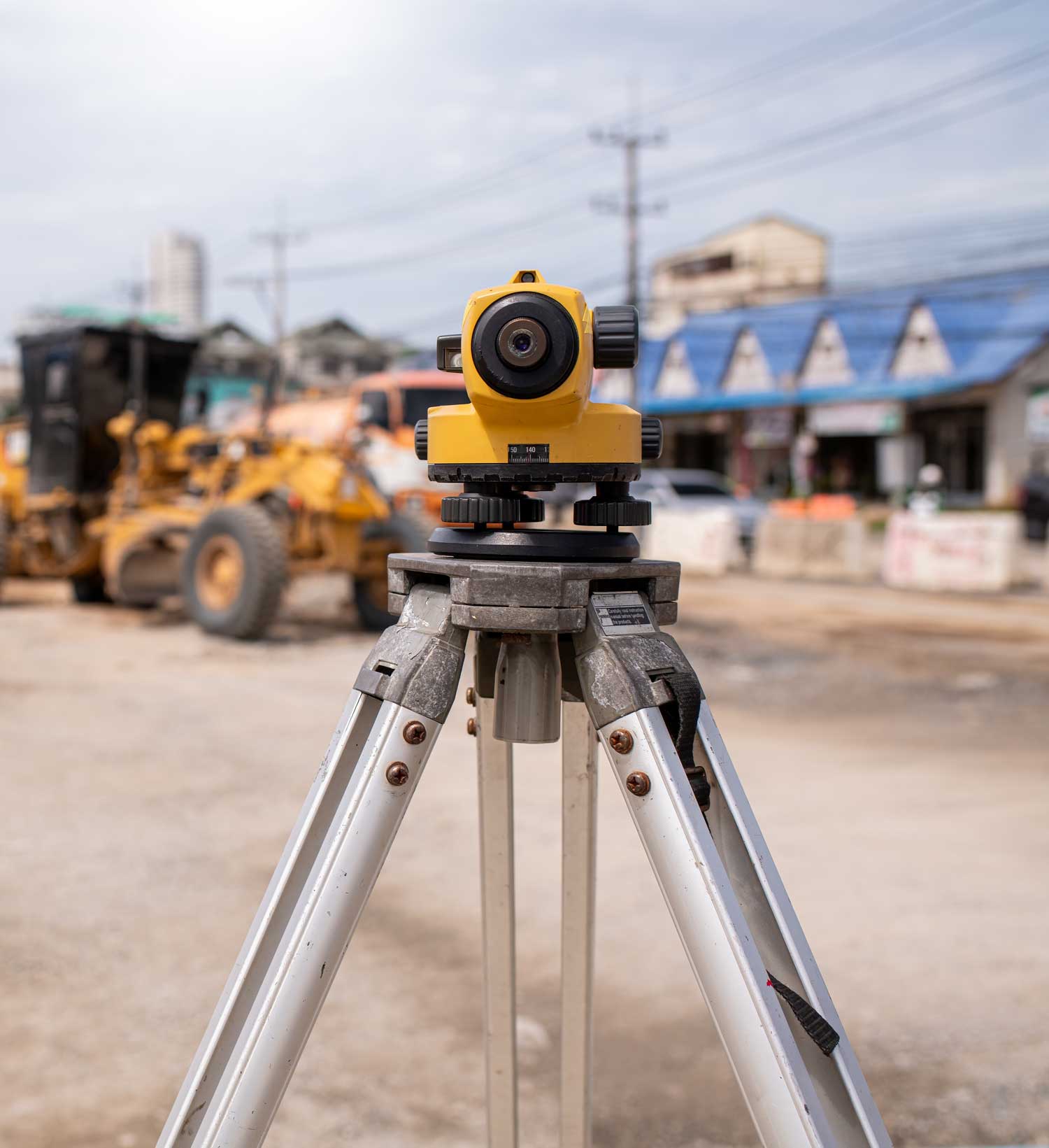
Title Image

Precision Survey and Mapping Services in Denver, CO

Surveying Services

At Precision Survey & Mapping, we’ve been proudly serving Colorado since 1997 with one goal in mind, providing dependable surveying services that give our clients clarity, accuracy, and confidence.

And based centrally in Denver, we specialize in working with B2B clients across many industries, from municipalities and developers to utility companies and contractors.

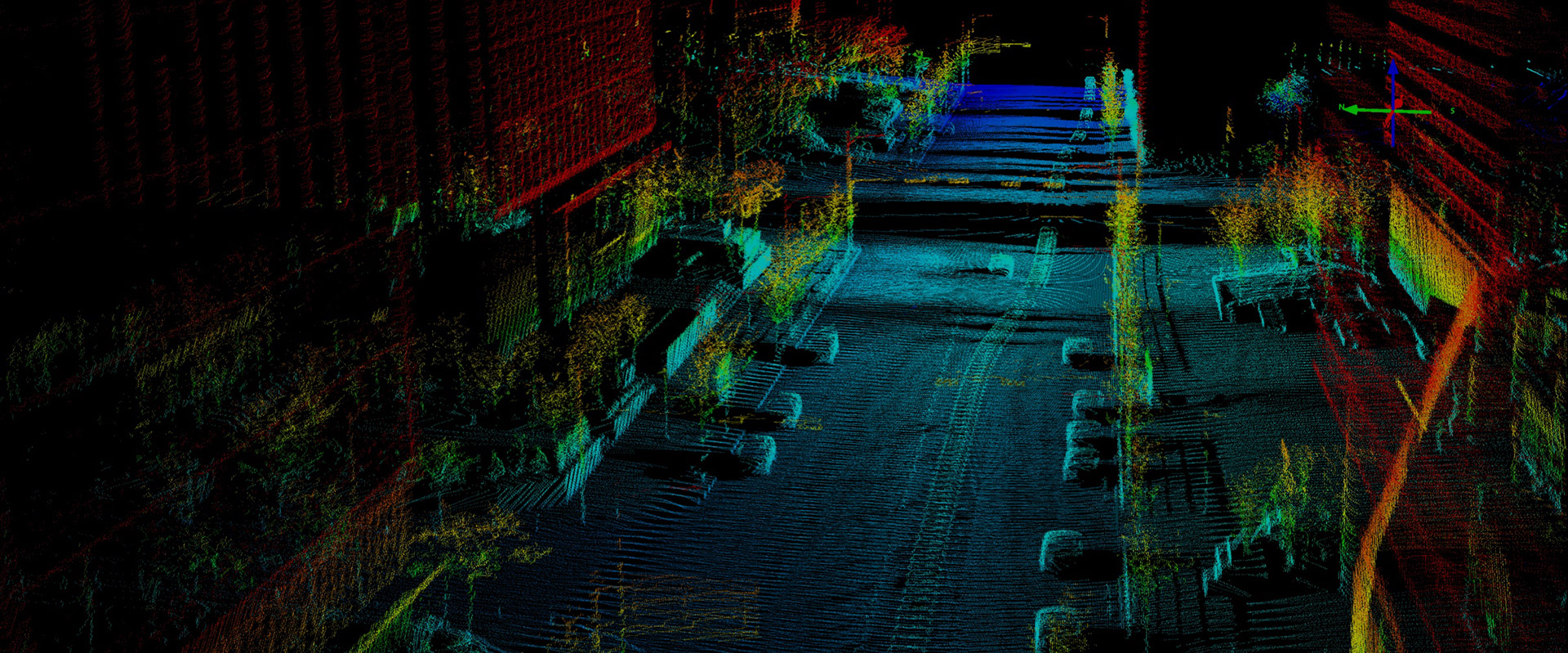
So, if you’re looking for a trusted land surveyor in Denver, CO, our team combines cutting-edge technology with nearly three decades of local experience to deliver results that you can build on.

Call 303-753-9799 Get a Quote

Comprehensive Land Survey Services

The foundation of every project starts with a quality survey. Whether you’re planning utility infrastructure, new development, or preparing for a real estate transaction, trust you next project to Precision Survey & Mapping.

Our services include:

ALTA/NSPS Land Title Surveys – Essential for commercial real estate, providing the detailed documentation required by lenders, attorneys, and title companies.

Boundary Surveys and Plats – Clearly defining property lines to avoid disputes and ensure compliance.

Improvement Survey Plats and Subdivision Plats – Mapping boundaries, improvements and laying groundwork for various projects.

Topographic and Basemap Surveys – Showing all features including existing improvements, infrastructure, slopes, elevations, and natural features critical for design and construction.

Construction Layout – Staking precise locations for roads, utilities, and buildings to guide crews during development.

Utility Locating/Investigations – Identifying underground infrastructure to avoid costly mistakes.

Subsurface Utility Engineering (SUE) – Delivering vital certified, underground utility mapping before excavation begins.

Easement Exhibits and Legal Descriptions – Preparing accurate legal documentation tied to property rights including easement and right-of-way acquisition.

Macro/DAS Cell Site Surveys and FAA 1A Certificates – Supporting telecommunications networks with precision mapping.

Bathymetric and Hydrographic Surveying – Measuring underwater terrain for lakes, reservoirs, and waterways.

Schedule a Consultation

LiDAR Services

Surveying today isn’t just tripods and measuring tapes, it’s lasers, drones, and advanced imaging. Our LiDAR services bring a new level of accuracy to projects large and small. We use aerial, mobile, and terrestrial LiDAR systems to capture precise, survey-grade data. This allows us to deliver results in multiple CAD formats for seamless integration into your project planning. With LiDAR, we can map complex areas quickly and accurately, saving time and reducing costs for our clients.

Our LiDAR services include:

Corridor surveys for roads and infrastructure

As-built surveys

Volumetric calculations for material stockpiles

Vegetation management and monitoring

Bridge inspections and asset management

Electric Transmission and substation infrastructure

Wireless infrastructure inspection and cell tower mapping

Wireless infrastructure inspection

Photogrammetry

For larger-scale mapping projects, we partner with Synergy Mapping, Inc., whose ASPRS-certified photogrammetrists use the latest technology to capture aerial imagery. This gives us the ability to cover hundreds of acres with accuracy, creating detailed maps for design and planning.

For smaller projects, we use in-house UAV/UAS systems equipped with high-resolution RGB sensors. This allows us to mobilize quickly in the Denver area and throughout the State of Colorado and deliver professional-grade mapping and photography, whether for utilities, development, or infrastructure.

Industries We Serve

No matter what the industry, we bring the same attention to detail and commitment to accuracy, timeliness and client service and communication. As a locally focused company, we’ve built strong partnerships across many industries in Colorado:

Utilities (Electric and Gas) – Working with Xcel Energy, CORE Electric COOP, and others on power and gas infrastructure.

Municipalities and Government Agencies – Surveying for public works, schools, and infrastructure.

Civil Engineers and Architects – Hundreds of miles thousands of acres of surveys completed for utility infrastructure, roadways, commercial development.

Water and Wastewater – Mapping infrastructure projects that serve Colorado communities.

Telecommunications – Supporting major providers like Verizon, AT&T, and T-Mobile with surveys for towers and network upgrades.

Renewable Energy – Supporting solar and wind projects with JUWI Americas, Vestas, and Xcel Energy.

Commercial Development – Helping general contractors like Kiewit and GH Phipps with accurate surveys to bring projects to successful completion.

Real Estate Transactions – Providing ALTA surveys for attorneys, developers, and real estate professionals.

Why Choose Precision Survey & Mapping?

When you need a dependable land surveyor in Denver, CO, you can count on us to provide accurate, timely, and professional service.

B2B focus – Our services are designed for businesses, developers, municipalities, and utilities.

Cutting-edge tools – From LiDAR to photogrammetry and GPS, we use the latest technology for accurate results.

Experience – Serving businesses across the state since 1997.

Local knowledge – We only work in Colorado, so we understand its terrain, climate, and regulations.

We have been honing our skills for decades and we’re constantly striving to improve our processes and technology, adding value to our clientele. Our staff has been working together for many years, resulting in the cohesiveness that is required to consistently produce high quality deliverables.

Our mission is to provide superior land surveying services and exceptional client support by leveraging cutting-edge technology, integrity, clear communication, and strong partnerships. At Precision Survey & Mapping, we take full ownership of every project, ensuring accuracy and accountability from start to finish.

Dedicated team – Our staff has worked together for years, creating the consistency and cohesion needed to deliver quality work on every job.

Frequently Asked Questions

What’s the difference between LiDAR and traditional surveying?
LiDAR uses lasers to scan the environment collecting hundreds of thousands of points per second to create a 3D point cloud, which allows us to cover larger areas more quickly and with greater detail than traditional methods.

How long does a survey take?
It depends on the size and complexity of the project. Smaller surveys may take a few days, while larger or more detailed projects may take several weeks or months.

Do you work outside of Colorado?
No. We are committed to serving only the State of Colorado, which allows us to stay focused and provide the highest level of service to local clients.

Can you deliver data in CAD formats?
Yes. We provide deliverables in a wide range of CAD and LiDAR formats to integrate seamlessly into your project.

Call 303-753-9799

Accurate Land Survey Services for Denver and Beyond

At Precision Survey & Mapping, we’ve built our reputation on accuracy, professionalism, and commitment to Colorado’s industries. That’s why, for over 25 years, we’ve been the go-to company for businesses needing land survey services in Denver, CO, and throughout the state. From corridor projects and renewable energy to utilities and commercial development, we provide the foundation every project needs to succeed. So when you work with us, you’re partnering with a team that values precision, communication, and client success. Just reach out and call us today to learn how our expertise can support your next project with clarity from the very beginning.