

Precision Survey & Mapping, Inc. is a full-service professional land surveying firm in Denver, CO, serving clients throughout Colorado since 1997. Our team of experienced land surveyors specializes in boundary and topographic surveys, photogrammetry, geospatial mapping, LiDAR data collection, construction staking and layout, as-built documentation, and ALTA/NSPS surveys. By combining traditional land surveying expertise with advanced technology, we deliver precise, reliable results that support everything from residential and commercial development to large-scale infrastructure projects.
We have been honing our skills for decades and we’re constantly striving to improve our processes and technology, adding value to our clientele. Our staff has been working together for many years, resulting in the cohesiveness that is required to consistently produce high quality deliverables.
Our Mission
Our mission is to provide superior land surveying services and exceptional client support by leveraging cutting-edge technology, integrity, clear communication, and strong partnerships. At Precision Survey & Mapping, we take full ownership of every project, ensuring accuracy and accountability from start to finish.
Our expertise extends beyond traditional surveying to include advanced geospatial services such as photogrammetry, LiDAR mapping, construction staking, and as-built documentation—giving clients the precise data they need to make confident decisions. We are dedicated to delivering projects on time while maintaining the flexibility required for customized solutions.
PSM’s steady growth and long-standing client relationships are a testament to our high standards of professionalism, performance, and commitment to excellence.
Call 303-753-9799
Our Clientele
Having a wide variety of experience across many facets of the industry, Precision Survey & Mapping has the expertise to take your next project to successful completion. Our team’s knowledge spans a broad range of industries and project types, ensuring that every client receives accurate, reliable results tailored to their needs.
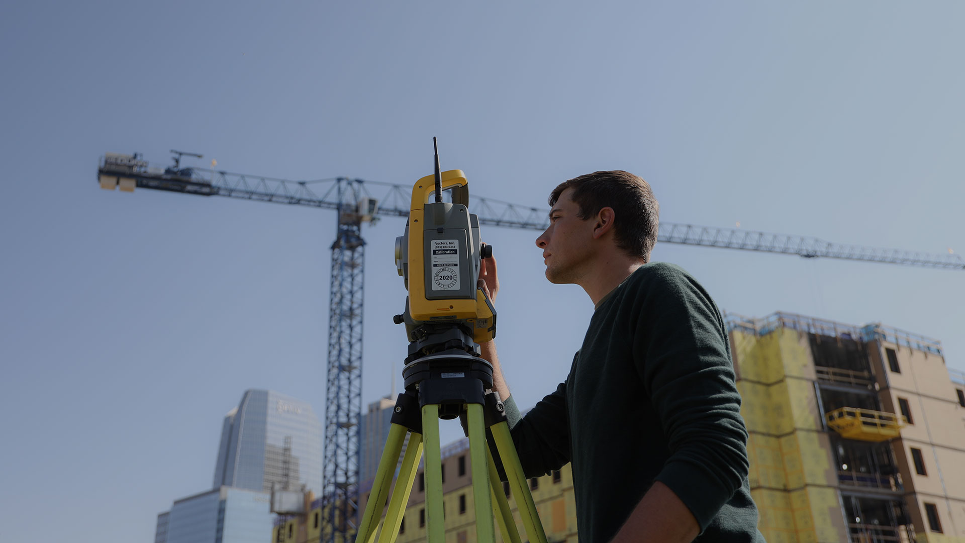
We utilize the most advanced Trimble surveying technology, including the Trimble R10 GNSS receiver, which delivers high-accuracy positioning, faster satellite acquisition, and robust field performance even in challenging environments. Equipped with the right tools and technology, we are prepared to deliver on all of your land surveying needs—from boundary and topographic surveys to construction staking, LiDAR, and geospatial mapping.
Entrust your next project to Precision Survey & Mapping and experience the professionalism and precision we are known for. Feel free to contact us today to schedule a consultation or call 303-753-9799 to speak directly with our team.
Schedule a Consultation
TRUSTED PARTNERS